Hiking Haslam: Another #ExploreNanaimo Adventure

Hey guys! TN Blogger Megan here. Hope everyone had a great Thanksgiving Long Weekend! Mine was filled with family, food & fun outdoors.

Since our Thanksgiving Dinner with my family was on Monday this year, we decided to embrace the sunny weather on Sunday morning and head south to Haslam Creek Trail & the Haslam Creek Suspension Bridge. This particular walking trail is a favourite with our family. It’s close to home (we live in the south end), the kids love looking for animal prints and slugs along the trail, and the best part is the suspension bridge over the creek.

IMG_9617.JPG

Read more here: http://explorenanaimobc.com/2016/10/11/hiking-haslam-another-explorenanaimo-adventure/ 

Exploring Newcastle Island in Nanaimo

Hey guys, Heather here!

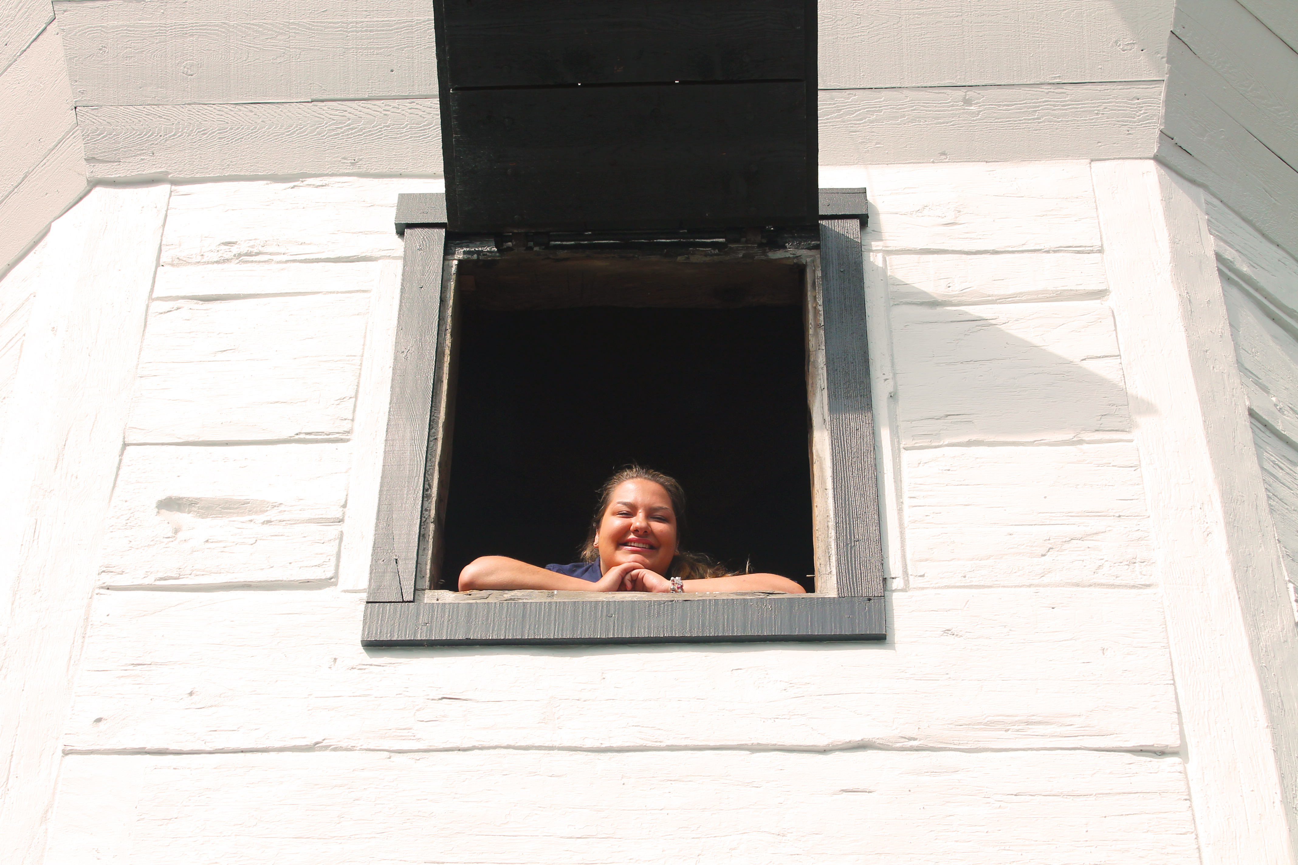
Since I began working with Tourism Nanaimo at the beginning of the summer, I’ve been inspired to rediscover the Harbour City. After checking a few boxes off my list I decided I to go on a ‘re-adventure’, and do something I had not done since I was in grade 7…  hike around Newcastle Island! I called my brother, my very first adventure buddy, to tell him the plan and he was eager to join me in reliving our youth.

IMG_8118

Me and my brother!

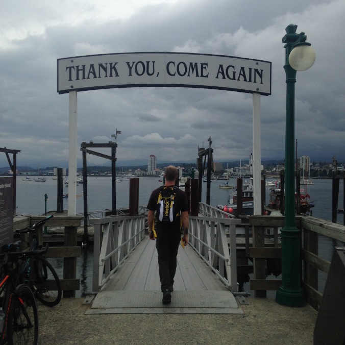
The morning was a little gloomy but we made a pact that rain or shine this hike was happening, we did grow up on the ‘wet-coast’ right after all! We arrived early for the ferry (which runs every hour on the hour from Maffeo Sutton Park) so we walked the waterfront and grabbed a Nanaimo Bar latte from my favourite coffee shop, Javawocky. We made our way to the Newcastle Island ferry where we hopped on the Island Mist foot passenger ferry ($9 round trip adult fare, $6 for child and senior) and set sail on our 10 minute ocean cruise.

IMG_8116

Getting ready to hop on the passenger ferry

We arrived on Newcastle Island and all my childhood memories came flooding back to me. The clubhouse still hosts interesting art pieces, the totem poles are still standing proud, the open campground and playground reminded me of why I loved this little island so much. My brother and I set out on our journey, first checking the map at the beginning of the trail to decide what our path would be.

IMG_8119

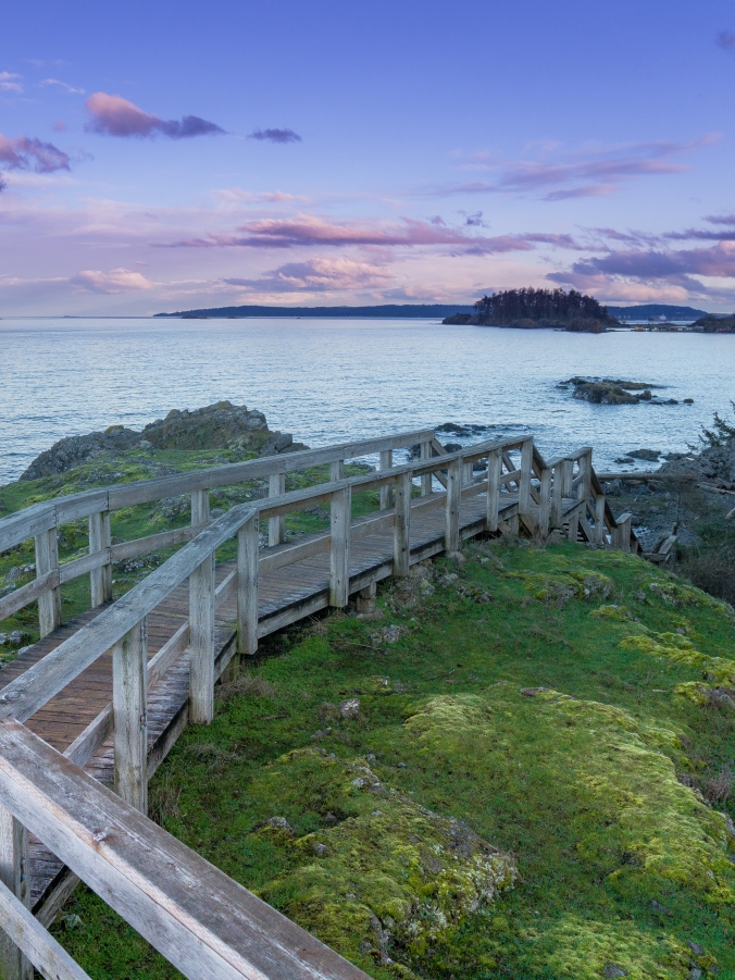
We decided to stick to the perimeter path of the island, which is approximately 7.5 kilometers but there are several joining trails that allow other island adventurers to shorten or lengthen their hikes if they choose (the trails are suitable for all experience levels, including children, dogs and those on bikes).

IMG_8144

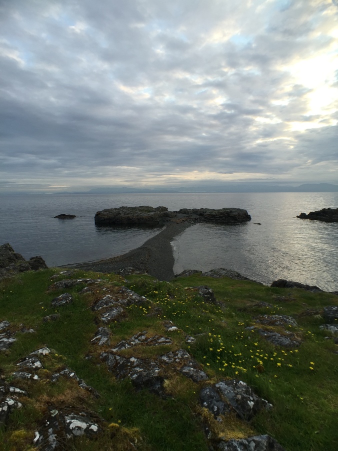
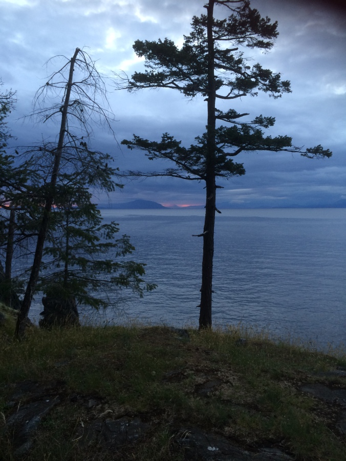
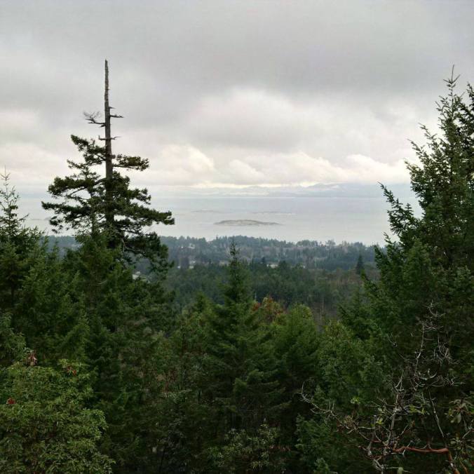
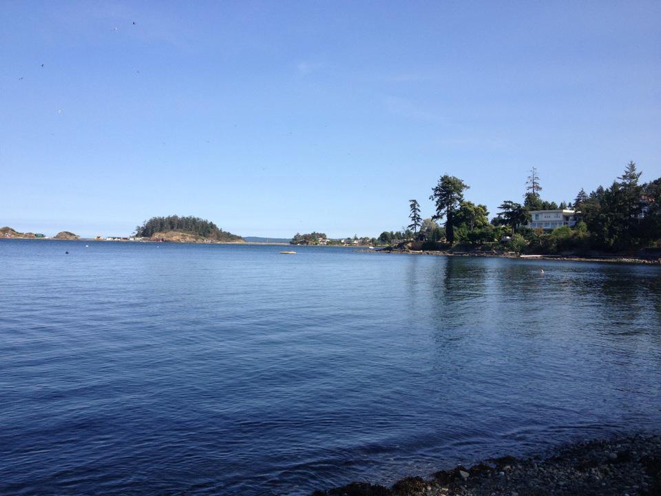
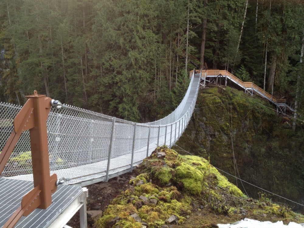
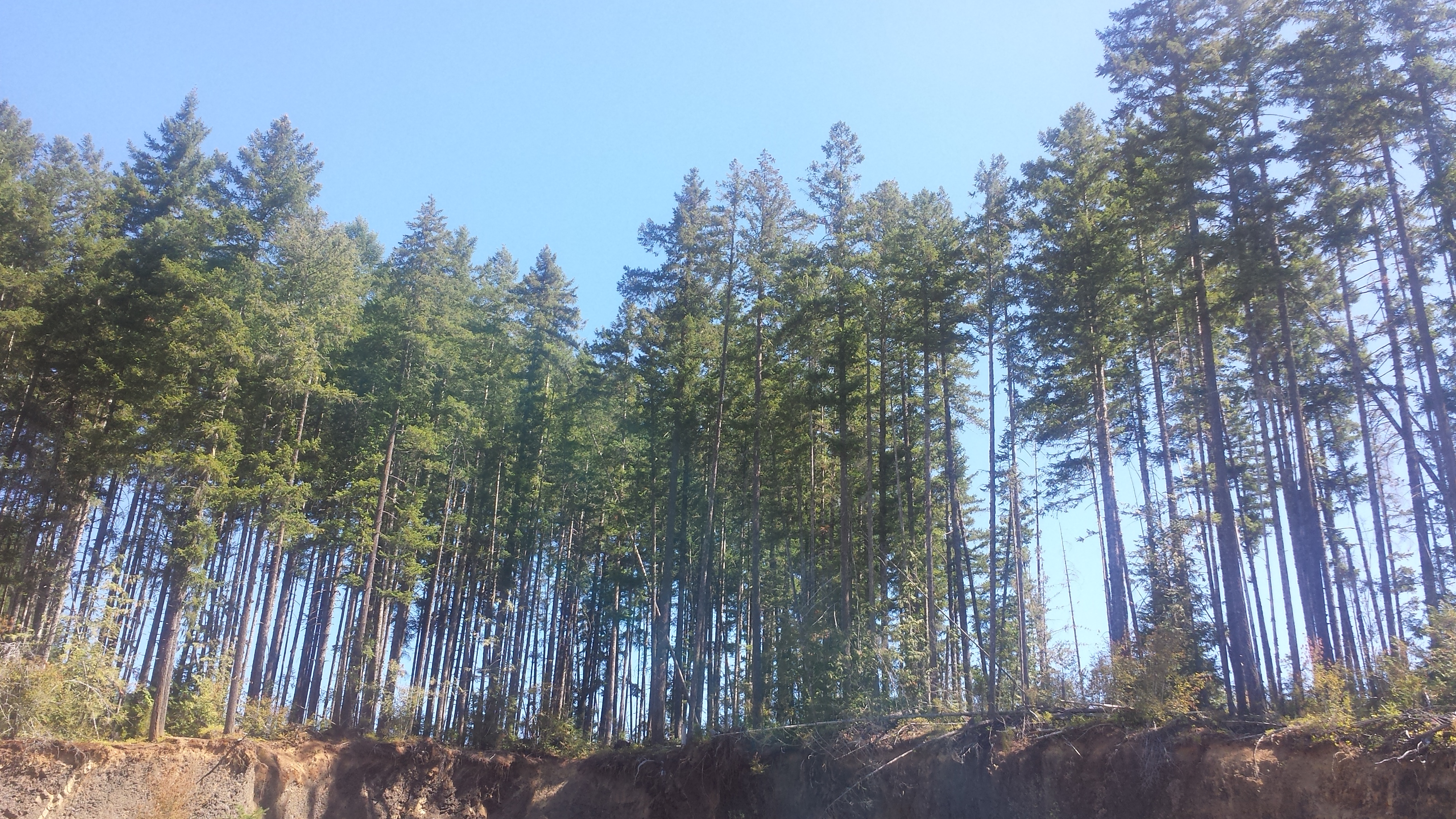
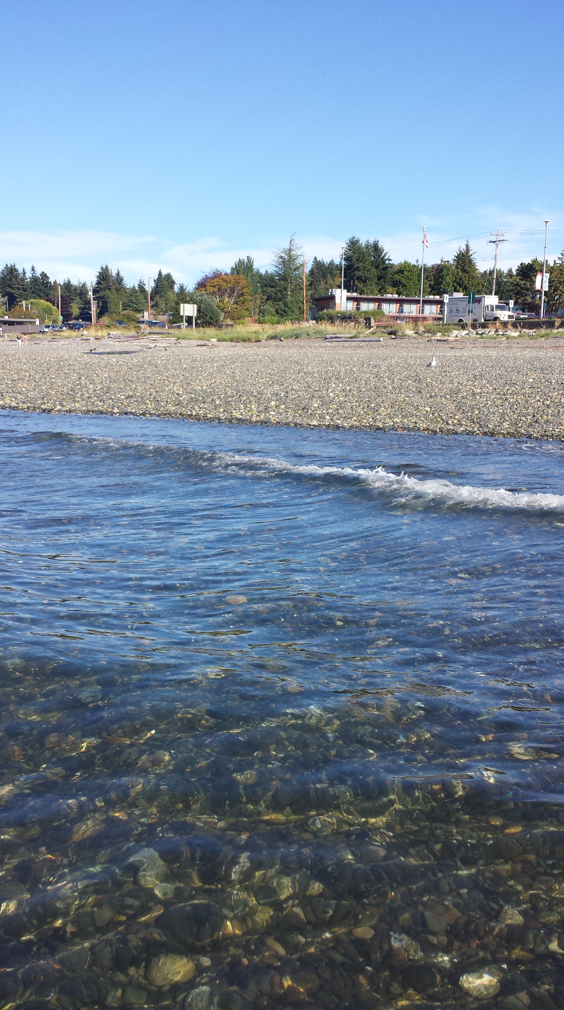
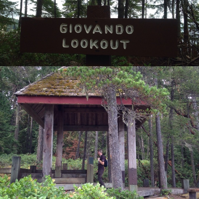
The perimeter path follows the coast line of the island, providing stunning views of the Pacific Ocean while also catering to those seeking a more forested surrounding. I should also note that in addition to the breathtaking views, Newcastle Island is enriched in fascinating history and cool points of interest along the trails, such as the Giovando Lookout and the Sandstone Quarry.

IMG_8205

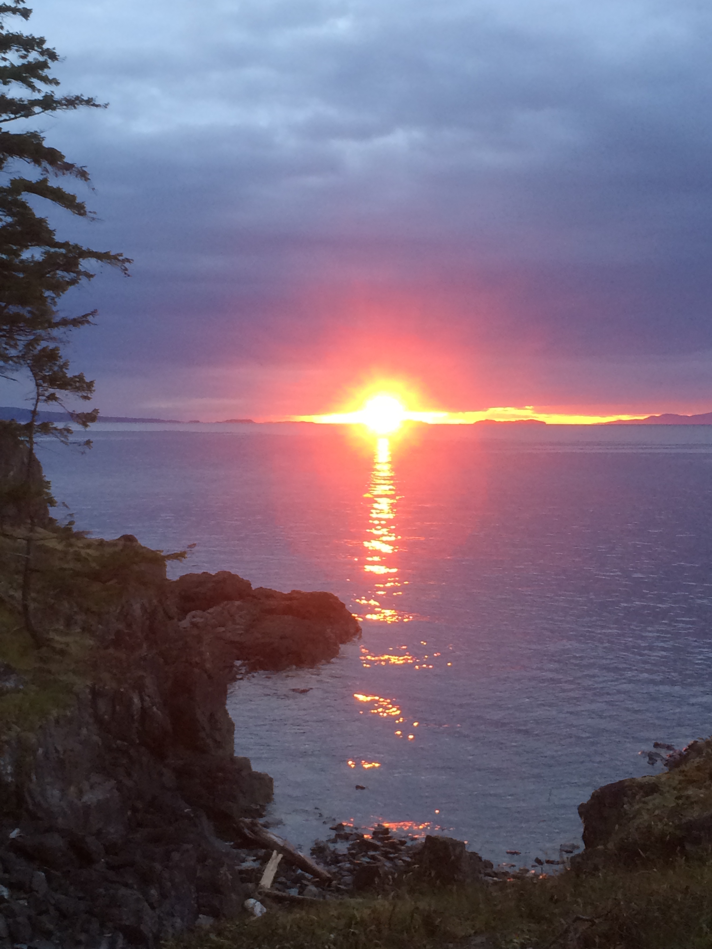
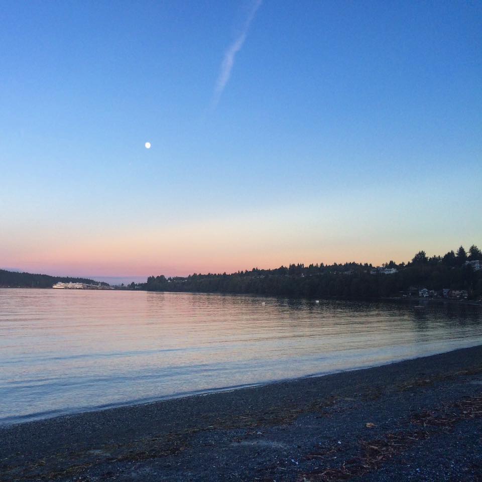
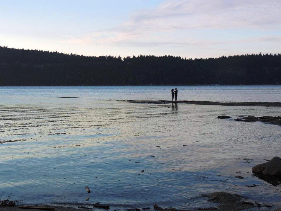
I highly recommend leaving a few hours open to hike Newcastle Island. My brother and I kept finding ourselves running out to all the various lookout points, astonished every time at the beauty around us (we may have stopped to catch some Pokémon along the way). We even took a moment on one of the beaches to get our ‘Om’ on and reflect on how lucky we truly are to live in the Pacific North West.

IMG_8204

We live here?! 

We met a few people during our hike who frequently like to spend the day island hopping. They begin with hike around Newcastle Island and finish it off with lunch at the Dinghy Dock Pub on Protection Island. It’s a little know fact, but if your check with your ship’s captain, they may be able to drop you off at the pub for a small additional fee. Sounds like a pretty great way to spend a day if you ask me!

IMG_8200

Mmm. Dinghy Dock food.

I hope you are as inspired as I am to get out and explore all the wonders Nanaimo has to offer.

Until next time!

IMG_8195

Cheers,

Heather 🙂
info@tourismnanaimo.com
250-751-1556

Heather_Picture

#ExploreNanaimo: Neck Point Park

An #ExploreNanaimo Blog by TN Staffer Morgane


I had heard a lot about Neck Point Park and was very happy to finally have an opportunity to visit. The park is aptly named for a gravel bar that connects the park to a rocky head of igneous rock out in the water; which really does resemble a long neck! There are 36 acres of waterfront to explore and winding trails through Garry Oak Groves.

IMG_7328

The “Neck” at Neck Point. Credit: Ian Andrew Nelson

So my hubby and I packed up the dog (dogs are allowed on the paths but not the beach) and headed out at 7:30 at night. I have to say that I was quite struck by how beautiful the views were! Everywhere I looked was another photo opportunity. As we walked around, the dog found rabbits to chase and a deer to stalk; I’m not sure she knew what it was, but she is always up for a challenge!

IMG_1125

Views everywhere you look

The climb was mostly uphill for a while, so I definitely got some exercise and had to stop to rest a few times. The trails are mostly developed but there are some areas that were of the beaten path through the trees. At that time of night, the woods seemed slightly daunting and my husband and I opted for the security of the path (yes, we are both wimpy!). Along the path we came across some wooden stairs that led to stunning views, especially when you catch the sun setting in the distance.

Nanaimo-290.jpg

Lots of boardwalks & stairs. Credit: jess.wandering via Instagram

This area is also known as a great diving site and orcas, seals and otters can often  be seen playing around in the waves or hanging out on outcrops of rock formations. Apparently a friendly octopus also makes it home in the deep water (I wonder what my dog would make of such a creature?)

IMG_1130.JPG

Sunset is stunning at Neck Point

Once the sun set, it was time to head home as the darkness made it a little harder to see the sights. I would recommend this area to anyone and look forward to my next adventure at Neck Point Park.

neck

For more parks & trails ideas in Nanaimo & Region, check out our website.

Until next time,

Morgane
250-751-1556
info@tourismnanaimo.com

morgane

Exploring the Lantzville Foothills

Hey everyone! TN staffer Emily here to tell you all about my hike around the Lantzville Foothills.

I love adventuring to new places; however school and work have made seeking out new adventures a little difficult. Luckily I finally had a Friday off which had me wandering around the Lantzville Foothills. I had always heard of people walking around up there, and curiosity fueled me to explore the area for myself.

12399318_10153955791688453_1869888902_n

The trail is really well marked due to the fact that there used to be a plan to develop in that area.  This made it blissfully easy to wonder around and not get lost. It offers many different peaks and bluffs for you to experience amazing views during your walk.

LantzvilleFoothills02

Trail heading up (credit: Pinterest)

The best part about this hike is it was not hard at all. It is an easy 7 km loop that took a little over 2 hours to complete.  I had gone on a bit of a cloudy day, and it did start raining about half way through (big surprise), but the trail and views itself were still very enjoyable. I definitely encourage anyone who wants awesome views to seek this hike out.

12674176_10153955791683453_1009781766_n

How to Get There:

  • If heading north, turn left off of the Nanaimo Parkway (Highway 19) onto Ware Rd (it will eventually turn into Aulds Rd about half way up)
  • At the end of the road, take a left onto Harwood drive and park at the end to reach the trail head
LantzvilleFoothills

Sunny day views (Credit: candiedfrogsmonologues.blogspot.com)

Until my next adventure,

Emily

emily

Finding “Me” Time in Nanaimo

It’s me. Megan.

When I sat down to write this blog, I had to really think about WHAT I wanted to portray. Finding time for myself these days seems like a daunting concept. As a full-time working mother of two, a wife, a best friend, a sister, a daughter, a granddaughter…the list goes on…it seems impossible some days to play all the different roles. However, the older I get, I’m realizing the importance of finding that elite time for just me. I am teaching myself that it’s OK to be selfish once in awhile 🙂

me

My go-to place for serenity has always been the beach. Growing up in Nanoose Bay, I used to walk down to the bottom of our hill to the private rocky beach with the neighbourhood kids and look for crabs, poke dead jellyfish, search for shells, you name it. Anything to get away from chores or homework or parents! That notion of heading to the beach still rings true to me, and now living in Nanaimo my favourite beach to head to is Departure Bay. I have a lot of childhood memories here from when our dad lived up the street from it, and visiting it just takes me back.

Departure Bay Beach Nanaimo BV     Departure Bay BC Nanaimo

The other beach that holds a sweet spot in my heart is Morningside Beach, or as we called it growing up “Hollywood Beach”. This quaint little beach off the side of Neck Point has a grassy area for throwing the frisbee and a rocky beach to take in the views of Shack Island and Piper’s Lagoon. Add it to your beach list if you haven’t already.

morningside beach nanaimo BC     morningside park nanaimo BC

Another way I am learning to take time for myself is through yoga. Although I haven’t been for awhile (too long!), my studio I attend is OmTown Yoga on Commercial Street. Having zero yoga background when I started, saying I was nervous for my first class was an understatement. But let me tell you – the staff are as about inclusive and sweet and non-judgemental as they can get and I felt so welcomed. Lesley was the teacher my sister-and-law and I sought after (always check the schedule before a class to see who’s teaching!) as we really liked her Vinyasa Flow class. Man I miss yoga! Sometimes the kids and I do it for fun at home 😉 Gotta get back into it.

Mommy and me attempt at downward dog ;)

Mommy and me attempt at downward dog 😉

The other thing I love to do is get outdoors for a hike. We are SO so lucky to live in Nanaimo with our abundance of parks and trails and pathways to nature. Sometimes it’s best to just get outside and get LOST in the woods. Here’s a list of my favourite walks/hikes:

Meg and Morg hike Ammonite (Xeda too!)

Meg and Morg hike Ammonite (Xeda too!)

Views of Mt. Benson from Harewood Plains

Views of Mt. Benson from Harewood Plains

Exploring The Abyss

Exploring The Abyss

Beautiful summer nights at Hemer Park, in Cedar

Beautiful summer nights at Hemer Park, in Cedar

Hope you can find some “me” time with the busy holiday season coming up. Remember ~ “don’t just be good to others…be good to you, too” 🙂 🙂 🙂

Namaste!

~Megan

IMG_4337

Exploring the Haslam Creek Suspension Bridge

Nanaimo has a suspension bridge? Yes we do!

Hi everyone, Amanda here!  I have a secret to share with you. Not too many people know that Nanaimo has a suspension bridge.  It is one of our best kept secrets.  But I am here to spill the beans and share this little adventure with you.  I have done a few of the trails in the area, but this time was significantly shorter since we were travelling with our little guy. Warning: my pictures do not it justice 🙂

h1

The Haslam Creek Suspension Bridge Trail is part of the Trans Canada Trail.  For those of you who don’t know, the Trans Canada Trail is the world’s longest network of trails.  When completed, the Trail will stretch 22,000 kilometers from the Atlantic to the Pacific to the Artic Oceans, linking 1000 communities and 33 million Canadians.  Today more than 16,500 kilometers of trail have been developed.

h3

The Haslam Creek Trail is just 15 minutes south of Nanaimo near the Nanaimo Airport. You will head south of Nanaimo past the airport and turn right onto Timberlands Road.  Follow the road to the end where Rondalyn Resort is and follow the bend to the left. Keep driving past the “Do Not Enter” signs into what looks like a gravel pit area. Keep going, staying to the right and along quite a bumpy road. It’s about 1.5 kilometers along the bumpy road before you’ll see a sign for the Haslam Creek Trail, along with a marker on a tree for the Trans Canada Trail. NOTE: there isn’t really a parking area, just a pull-off on the right side of the logging road. View the map HERE.

20150920_143348.jpg

From the trail head to the bridge you will walk an easy 1.2 kilometers.  The bridge overlooks a beautiful creek with large moss covered rocks.  Once you have crossed the bridge you will find maps of the surrounding trails linking all the way to Spruston Road. Walking time from the Haslam Creek Suspension Bridge to Spruston Road is approximately 2.5 hours one way.

h5  h4

After the suspension bridge, a lot of the hike is on back roads.  For our short walk we just followed the back road for a bit and walked down to the creek to check out the sites.

h6

So now you know, Nanaimo does have a suspension bridge.  The next time you are looking to get outdoors, make sure you add this to your #ExploreNanaimo bucket list!

h7

Adventure on,

~ Amanda

IMG_2089

Nanaimo to Campbell River: Visiting Elk Falls

Hey everyone!

This summer has had me working a lot, but I have found many ways to still make it enjoyable with multiple day trips. Almost every week I try and do a different day trip so explore more of this amazing Island that we live on. One of my day trips being one that I did a few weeks ago to Elk Falls Provincial Park, just 2 kms from downtown Campbell River.

map-of-elk-falls-near-campbell-river

This place was absolutely amazing. I have never seen a waterfall like this one. The park itself is also awesome. You can easily spend 15 minutes to 4 hours either fishing for salmon in the river, or exploring the wondrous trails that wind around the park.

The Falls

The Falls

If you want to experience the falls there are a couple different viewpoints for you to enjoy. The brand new suspension bridge is only 15-20 minutes from the parking lot and it gives an awesome aerial view of the falls and the river that they flow into, so if you are short on time this would probably be the best route.

Me and my brother on the bridge!

Me and my brother on the bridge!

If you are free to wander the trails a bit more you can go to a view point that is directly down and across from the suspension bridge. This gives you a nice side view of the falls and there is a constant rainbow to be seen as well.

Side view of Falls (credit: Wikipedia Commons)

Side view of Falls (credit: Wikipedia Commons)

You can wander the trails down even more and it brings you to the top of the falls. This part is an “at your own risk” part of the park, but you can still take it some amazing views of what feeds the falls as well as the top of the falls. There are lots of rocks to sit or lay on in the beautiful sunshine if you feel like taking a break or eating a picnic.

This is a great destination for a day trip. With lots of shaded trails, amazing sites as well as the nice relaxing sounds of the water fall crashing down the canyon, it is definitely bound to be a good day.

Credit: Island Coastal Economic Trust

Credit: Island Coastal Economic Trust

Getting There:

  • Head North on Hwy BC-19
  • Turn Left onto Island Hwy/BC-19A N (signs for BC-28 W/Gold River)
  • Continue onto Campbell River Rd/ Gold River Hwy/BC-28 W
  • Turn Right onto Canal Access Rd

*In order to get directly to the falls – once in the park keep driving up the road for about five-10 minutes and the entrance to the parking lot will be on your right.

Cheers!

~Emily

Emily

Day Trip: Hole in the Wall

Hey y’all!

Since I finally got a reliable vehicle, my boyfriend and I decided to take an adventure on our one day off together. We stopped by the Visitor Centre to grab a Backroad Mapbook just in case we wanted to get real adventurous. We decided we would check out the “Hole in the Wall” in Port Alberni. I had heard about this little place on a Facebook group called “TAKE A HIKE: Vancouver Island”. This group is a really reliable source for info on little and big hikes throughout Vancouver Island.

20150819_132214 20150819_132406

“Hole in the Wall” is located across from Coombs Country Candy on Hwy 4. Make sure you don’t get this confused with Coombs Country Market (with the Goats on the Roof). It took us about an hour and a half to get to “Hole in the Wall”. The drive out this way is really nice and scenic, driving past Little Qualicum Falls, Cameron Lake and Cathedral Grove/MacMillan Provincial Park. When you arrive to Hole in the Wall, you’ll see Coombs Country Candy first. You can either park in there, or loop around the parking lot and park on the highway heading back towards Nanaimo, right beside Hole in the Wall entrance. The walk in was pretty easy, mostly downhill on hard packed dirt. Make sure when you get to the fork that you take a left, this will lead you to it. We took a quick dip, the water was the perfect temperature and the waterfall was amazing! If you walk along the rest of the creek, there are a bunch of rock statues that people have made, it looks like a little art gallery. We also saw three adorable little frogs!

20150819_133324    20150819_134335 1    20150819_141911 1

After our little hike to the Hole in the Wall, we stopped in at Cameron Lake to test the temperature there: also perfect! Cameron Lake is a fantastic place to go swimming, canoeing or kayaking, which we saw many people doing.

Beautiful Cameron Lake

Beautiful Cameron Lake

Next stop was the Qualicum Trading Post. I have driven past here numerous times and have always wanted to stop in but never have. There is a teepee outside so you can’t miss it. This store has an abundance of First Nations art, clothing, jewelry, bedding, everything really. We ended up buying some soap made on Vancouver Island that smelt amazing (Blackberries & Sage!).

20150819_150809      20150819_152749      20150819_151401

Coombs Country Market was next on the agenda. This is a must stop as there are so many cool, crazy things here. The best though? The ice cream cones you get that are the size of your face (and that’s just ONE scoop). What’s even better than the giant ice creams? The goats that live on the roof of the market of course! From the goat topped market we grabbed some fresh produce, local sauces and candied salmon for dinner the next day.

20150819_161640 icecreamimg

Our final stop of the day was in Qualicum Beach. I love the ocean so anytime I can drive by it, or be in it, I will. If you take Hwy 19A off of Hwy 4, this will take you on the scenic route. Good news, the water temperature here was also perfect!

20150819_165940              20150819_165320

Got any other ideas for me for day trips out of Nanaimo? Let me know!

–Laura

Laura-edit

Stepping Back in Time at Morden Mine

Hi everyone – Megan here!

I wanted to blog about a recent trip we took to Morden Mine and the Nanaimo River Regional Park as a family, as it was just such a great day. We started off by heading over to Nanaimo River Regional Park, located off of Thatcher Road in the south Wellington area of Nanaimo. It’s a beautiful walk along the Nanaimo River – perfect for kids with bikes (my 5 year old brought his) and walking with a stroller (our daughter likes to ride in style). The trail meanders past farms & fields and eventually along the river before looping back to the parking area.

Capture

We decided to pull over at a set of stairs near the end of the trail and pop down to the river’s edge for a picnic snack, where we were able to take in some local guys fly fishing. (This was, of course, before the drought conditions and before the local rivers were closed to fishing). It was so beautiful and peaceful just looking out onto the river; bonus was we had the whole place to ourselves! We never crossed one other single person while on the trail.

Picnic by the Nanaimo River

A picnic by the Nanaimo River

After finishing up our snack, we loaded back into the car and drove the short 5 minutes or so to reach the entrance of Morden Colliery Historic Provincial Park, or “Morden Mine” as the locals refer to it. This historical place once housed the Morden Coal Mine, which pushed out 76,000 tonnes of coal during it’s first year of operation in 1912. Now, it’s the only remaining coal tipple on the Island. It’s quite impressive to see in person, let me tell you! The kids couldn’t believe how big it was.

The tipple

The tipple – photo via Cinnabar Vista/Tourism Nanaimo

We found our way to the cute little “Miner’s Trail”, just along the side of the tipple itself. Since the park is very old and actually falling apart (more on that later), it’s crucial that any visitors to the park stay on the trail itself in order to preserve what remains of the mine. It’s easily marked and the historical signage along the path tells you all about the history of Morden Mine, including what the buildings used to look like using historical photos.

IMG_3236

Following the trail around takes you past some pretty cool stuff!

Wandering the Miner's Trail

Wandering the Miner’s Trail

Once you’ve explored the historical part that was the actual mine, there is a great little trail (only 1km or so long) that takes you down to the Nanaimo River called the Morden Colliery Regional Trail. It’s flat and easy walking trail. It apparently follows the same route the railway used to run from the mine! Who knew!

Morden is such a beautiful park, with such a sad fate. For years the Friends of the Morden Mine have tried to raise enough money to save these ailing structures, but to no luck. The site’s owner, the BC Government, just can’t come up with the money to make the necessary imperitive repairs to save them. And after years of trying, the Friends of Morden Mine have pretty much thrown in the towel. It’s so sad to think they will just crumble to the earth eventually, so make sure to make the effort to visit the park before it is no more. I’m glad we did.

Go visit Morden Mine!

Go visit Morden Mine!

–Megan 🙂

Meg

Hiking Jurassic Park — er, I mean Cable Bay Trail

Hey guys! Jenna here.

One sunny warm evening Laura, and few friends and I decided to pile into our cars and drive to Cedar to check out the Cable Bay Trail. My one suggestion for finding your way to the trail is to not put your trust in Google Maps (I know what we all will do!) Instead, to find the Cable Bay Trail head you will need to find your way onto MacMillan Rd and turn onto Holden Corso Rd (which switches into Barnes Rd) and take a final left hand turn onto Nicola Rd where you will find the gravel parking lot.

Directions to Cable Bay

Directions to Cable Bay

The Cable Bay Trail Park is one of Nanaimo’s best off leash dog parks, as well as a beautiful and peaceful forested park. The short 2km walk (one way) winds through the forest and finally opens up to a stunning view of Dodd Narrows. The trail has a distinctly Jurassic Park feel and for good reason! Someone has hidden a number of small dinosaurs throughout the trail.  Bring a piece of paper and tally how many hidden dinosaurs you can spot; hunting for dinos in the woods is a perfect way to entertain a group of kids this summer!

Cable Bay dinosaurs - photo via Kait's Quirks

Cable Bay dinosaurs – photo via Kait’s Quirks

After a day at work, being outside in the warm evening air was fantastic! We played and climbed around on the rocks for a while and fought to keep my dog, Quincy, out of the water,finally relaxing by watching the sunset before hiking back out to the car.

Quincy

My dog Quincy taking in the views!

The Cable Bay Trail was a great choice for our spontaneous evening hike, and I would highly recommend everyone go checkout the park. I think I have found my new summer relaxation spot!

Beach at Cable Bay

Beach at Cable Bay

–Jenna